GeoSmart Intelligence Hub
Practical GeoSmart thinking for digital infrastructure.
Explore applied case studies, GeoAI perspectives, digital twin strategies, data governance practices, and market trends shaping the future of geospatial innovation.
Focus Areas
GeoSmart innovation focus areas
The themes guiding GPC's innovation agenda across geospatial intelligence, smart infrastructure, trusted data, and applied AI.
GeoAI & Remote Sensing
AI-enabled extraction, classification, change detection, and monitoring from imagery and geospatial data.
Smart Infrastructure
Digital workflows supporting rail, utilities, permitting, asset management, and mobility.
Spatial Data Governance
Data standards, quality, integration, stewardship, and trusted spatial foundations.
Digital Twins & Visualization
Interactive environments for planning, coordination, monitoring, and executive decision-making.
Market & Technology Trends
Practical interpretation of emerging tools, platforms, AI agents, and delivery models.
GeoSmart Assistants
Future-facing AI assistants for navigating geospatial knowledge, studies, and decision support.
Featured Insights
Selected applied studies and strategic perspectives.
A focused view into GPC's GeoSmart innovation agenda and the practical methods behind digital infrastructure transformation.
Municipal Operations
Reinventing Municipal Basemap Maintenance
How AI-assisted change detection and governed workflows can modernize trusted municipal base data.Governance
GeoSmart Intelligence Governance for AI-Ready Spatial Data
A practical framework for preparing spatial data foundations for advanced analytics and AI use cases.Government AI
GeoCopilot for Government Operations
Exploring AI assistants that help government teams navigate spatial knowledge, workflows, and decisions.Applied Innovation Study
Applied innovation in practice
A practical example of how GeoSmart themes translate into workflows, decision support, and client-facing outcomes.
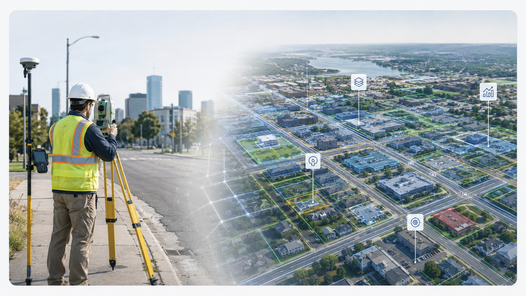
Featured Study
Reinventing Municipal Basemap Maintenance
A GeoSmart approach to AI-assisted change detection, spatial data governance, and intelligent workflows for maintaining accurate, trusted municipal base data.Explore the StudyInteractive GeoSmart Assistants
Guided AI experiences for exploring applied innovation.
Help visitors navigate GPC insights, GeoAI use cases, digital twin strategies, spatial data governance, and practical opportunity areas.
Answers are designed to use approved GPC knowledge sources and show citations where available.
Welcome. I can help you explore GeoAI, digital twins, spatial data governance, smart infrastructure workflows, and relevant GPC case studies.
GeoAI can support municipal basemap maintenance by detecting changes from imagery and geospatial data, then routing updates through governed validation workflows.
GeoAI & Remote Sensing | Smart Infrastructure | Spatial Data GovernanceCollaboration
Let's discuss applied innovation opportunities
Connect with GPC Group to explore GeoSmart strategies, AI-enabled geospatial use cases, digital transformation opportunities, and potential collaboration areas.